

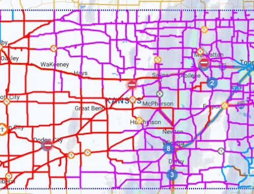
A significant winter weather event will move through Kansas Wednesday evening through Thursday, bringing a potential triple threat of accumulating snowfall, strong winds and arctic air intrusion.
The National Weather Service says a Winter Storm Warning goes into effect at 6 p.m. this evening through Thursday. A Wind Chill Warning is also in effect from midnight Thursday through noon Friday. Snowfall accumulations are expected to be 1 to 3 inches, but the primary concern is the wind, which forecasters say could gust as high as 45 mph. That will likely lead to blowing snow and could reduce visibility to a quarter of a mile or less and could produce near-blizzard conditions, making travel difficult ahead of the holiday. Another result of the high winds will be dangerously cold wind chills as low as 40 degrees below zero are expected.

Temperatures on Thursday and Friday will struggle to get much above zero. Factor in the wind, and the National Weather Service says wind chills will be worse than what was seen in February 2021 and the coldest wind chills since a minus 41 degree wind chill was observed in Topeka in December 1989. After another cold day Saturday, temperatures begin to warm Sunday into next week.
Leave a Reply